 vesseltracker.com
Find the position of the vessel Tummas T on the map. The latter are known coordinates and path.
marine traffic ship tracker show on live map
The current position of vessel Tummas T is 64.53449 lat / -11.58517 lng. Updated: 2025-10-29 20:08:52 UTCCurrently sailing under the flag of Faroe Is
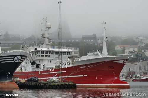
Tummas T built in 2002 year
Details:
Last coordinates of the vessel:
UTC, 64.49104, -11.55304, course: 304, speed: 10.1UTC, 64.52293, -11.71382, course: 237, speed: 10.6
UTC, 64.46683, -11.58917, course: 51, speed: 10.6
2025-10-29 20:08:52 UTC, 64.53449, -11.58517, course: 331, speed: 3.5
Track of the vessel in the last 14 days
The ship also appears on the maps: